Thursday, March 29, 2012

Jackson Spring Park

Jackson Spring Park is absolutely gorgeous.  Learning the history of the area was eye opening.


On a more geologic arena, we looked at rocks.  The Gneiss rocks were interesting to look at because of the orderly structure.
 

We also took some of the soil and placed it into the tube that separates the larger and small pieces from each other.  Each level of the tube further separates the material until you are left with the finest materials at the bottom.  When we were at the community gardens, we sorted the soil by shaking the tube, but at the park, we sorted them out by placing water in the tube and slightly stirring it around. 
Friday, March 23, 2012

Community Gardens

Community gardens provide fresh grown produce for the surrounding area.  Raise beds are traditionally used because of the lead content in the soil from the houses that were once built in that area.  The gardening was very different to me because I live in a rural area and not only is the gardening more extensive, but there is not a need for the raised bed...well, there may be a need but they are not used.


The Munsell Soil Chart is used to determine the color of the soil.  Basically, one holds a same of the soil in his or her hand and uses the book to compare to see which one more closely resembles the soil.
 

At times, however, it can be difficult to identify soils based primarily on the way they look, especially because some of the colors are very similar in appearance.  There is another method of identifying soils; this method used the texture of the soils.  At the community garden, we used a soil texture flow chart, based off of the soil texture diagram, to identify soils.  This method uses touch as the primary method of identification.  
 

Saturday, March 10, 2012

Glacial Lake Missoula

While all three of the videos we have watched during recent labs have been interesting, I was most intrigued by the scablands.   I was most amazed by the fact that one man understood that the landscape had been shaped by a single cataclysmic event.  He realized that his idea was radically different than the thoughts of his peers.  The common geological belief at that time was that the land was shaped overtime by slow processes.  His proposition was considered radical and foolish by many of his peers. While one of his peers was aware that a flood had probably occurred at that time with enough strength to produce the effects that he suggested, that man did not share his information for fear of professional suicide.  Eventually his work was vindicated when the man was able to share his information.

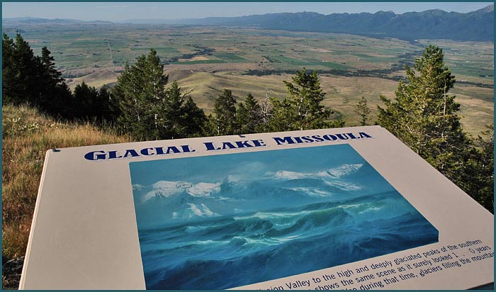
Glacial Lake Missoula viewpoint.